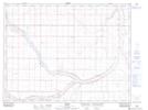
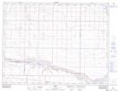
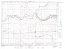
Maps showing Yellow Lake, 9-12-W4, Alberta
Yellow Lake is a Lake located in 9-12-W4, Alberta and has an elevation of 788 meters.
- Latitude: 49° 44' 23'' North (decimal: 49.7397222)
- Longitude: 111° 30' 11'' West (decimal: -111.5030556)
- Topography Feature Category: Lake
- Geographical Feature: Lake
- Canadian Province/Territory: Alberta
- Elevation: 788 meters
- Location: 9-12-W4
- Atlas of Canada Locator Map: Yellow Lake
- GPS Coordinate Locator Map: Yellow Lake Lat/Long
Yellow Lake NTS Map Sheets