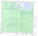
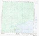
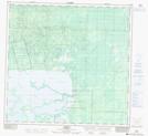
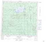
Maps showing Zama Lake, 112-7-W6, Alberta
Zama Lake is a Lake located in 112-7-W6, Alberta and has an elevation of 313 meters.
- Latitude: 58° 45' North (decimal: 58.7499999)
- Longitude: 119° 5' West (decimal: -119.0833332)
- Topography Feature Category: Lake
- Geographical Feature: Lake
- Canadian Province/Territory: Alberta
- Elevation: 313 meters
- Location: 112-7-W6
- Atlas of Canada Locator Map: Zama Lake
- GPS Coordinate Locator Map: Zama Lake Lat/Long
Zama Lake NTS Map Sheets