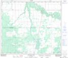
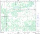
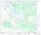
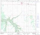
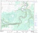
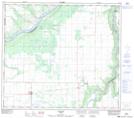
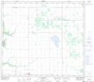
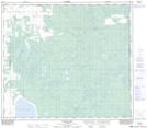
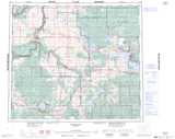
Maps showing Municipal District of Smoky River No. 130, 77-21-W5, Alberta
Municipal District of Smoky River No. 130 is a Major municipal/district area - major agglomeration located in 77-21-W5, Alberta.
- Latitude: 55° 40' 19'' North (decimal: 55.6719444)
- Longitude: 117° 13' 20'' West (decimal: -117.2222222)
- Topography Feature Category: Major municipal/district area - major agglomeration
- Geographical Feature: Municipal District
- Canadian Province/Territory: Alberta
- Location: 77-21-W5
- Atlas of Canada Locator Map: Municipal District of Smoky River No. 130
- GPS Coordinate Locator Map: Municipal District of Smoky River No. 130 Lat/Long
Municipal District of Smoky River No. 130 NTS Map Sheets
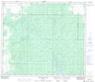
083N05 Puskwaskau River Topographic Map at 1:50,000 scale
083N06 Whitemud Creek Topographic Map at 1:50,000 scale
083N07 Triangle Topographic Map at 1:50,000 scale
083N10 Mclennan Topographic Map at 1:50,000 scale
083N11 Donnelly Topographic Map at 1:50,000 scale
083N12 Watino Topographic Map at 1:50,000 scale
083N13 Tangent Topographic Map at 1:50,000 scale
083N14 Lac Magloire Topographic Map at 1:50,000 scale
083N15 Frank Lake Topographic Map at 1:50,000 scale
083N Winagami Topographic Map at 1:250,000 scale
083N06 Whitemud Creek Topographic Map at 1:50,000 scale
083N07 Triangle Topographic Map at 1:50,000 scale
083N10 Mclennan Topographic Map at 1:50,000 scale
083N11 Donnelly Topographic Map at 1:50,000 scale
083N12 Watino Topographic Map at 1:50,000 scale
083N13 Tangent Topographic Map at 1:50,000 scale
083N14 Lac Magloire Topographic Map at 1:50,000 scale
083N15 Frank Lake Topographic Map at 1:50,000 scale
083N Winagami Topographic Map at 1:250,000 scale