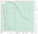
Maps showing Tar Island, 92-9,10-W4, Alberta
Tar Island is a Island located in 92-9,10-W4, Alberta.
- Latitude: 56° 59' North (decimal: 56.9833000)
- Longitude: 111° 27' West (decimal: -111.4499999)
- Topography Feature Category: Island
- Geographical Feature: Island
- Canadian Province/Territory: Alberta
- Location: 92-9,10-W4
- Atlas of Canada Locator Map: Tar Island
- GPS Coordinate Locator Map: Tar Island Lat/Long
Tar Island NTS Map Sheets