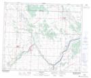
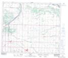
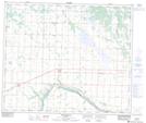
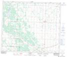
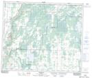
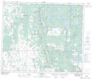
Maps showing County of Thorhild No. 7, 37-60-21-W4, Alberta
County of Thorhild No. 7 is a Major municipal/district area - major agglomeration located in 37-60-21-W4, Alberta.
- Latitude: 54° 14' 42'' North (decimal: 54.2450000)
- Longitude: 113° 3' 00'' West (decimal: -113.0499999)
- Topography Feature Category: Major municipal/district area - major agglomeration
- Geographical Feature: Municipal District
- Canadian Province/Territory: Alberta
- Location: 37-60-21-W4
- Atlas of Canada Locator Map: County of Thorhild No. 7
- GPS Coordinate Locator Map: County of Thorhild No. 7 Lat/Long
County of Thorhild No. 7 NTS Map Sheets
083H14 Redwater Topographic Map at 1:50,000 scale
083H15 Lamont Topographic Map at 1:50,000 scale
083I02 Waskatenau Topographic Map at 1:50,000 scale
083I03 Thorhild Topographic Map at 1:50,000 scale
083I06 Perryvale Topographic Map at 1:50,000 scale
083I07 Newbrook Topographic Map at 1:50,000 scale
083H Edmonton Topographic Map at 1:250,000 scale
083I Tawatinaw Topographic Map at 1:250,000 scale