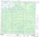
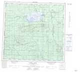
Maps showing Chateh, 1-112-5-W6, Alberta
Chateh is a Unincorporated area located in 1-112-5-W6, Alberta.
- Latitude: 58° 41' 58'' North (decimal: 58.6994444)
- Longitude: 118° 41' 14'' West (decimal: -118.6872222)
- Topography Feature Category: Unincorporated area
- Geographical Feature: Post Office
- Canadian Province/Territory: Alberta
- Location: 1-112-5-W6
- Atlas of Canada Locator Map: Chateh
- GPS Coordinate Locator Map: Chateh Lat/Long
Chateh NTS Map Sheets