Canada Topographic Maps

Debolt Creek Topo Maps

Topography maps and Latitude/Longitude Location

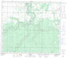
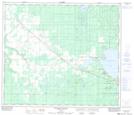
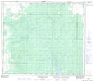
Maps showing Debolt Creek, Alberta

Debolt Creek is a River located in Alberta.

  • Latitude: 55° 9' 44'' North   (decimal: 55.1621999)
  • Longitude: 118° 2' 25'' West   (decimal: -118.0403000)
  • Topography Feature Category: River
  • Geographical Feature: Creek
  • Canadian Province/Territory: Alberta
  • GPS Coordinate Locator Map: Debolt Creek Lat/Long

Debolt Creek NTS Map Sheets

083M01 Debolt Topographic Map at 1:50,000 scale

083N04 Sturgeon Heights Topographic Map at 1:50,000 scale

083N05 Puskwaskau River Topographic Map at 1:50,000 scale

083M Grande Prairie Topographic Map at 1:250,000 scale

083N Winagami Topographic Map at 1:250,000 scale

 
Buy Topographic Maps DVD
Newsletter Sign-up

Yes, I want to receive map store discounts.


Bookmark and Share