Maps showing Willmore Wilderness Provincial Park, Alberta
Willmore Wilderness Provincial Park is a Conservation area located in Alberta and has an elevation of 1336 meters.
- Latitude: 53° 42' 5'' North (decimal: 53.7014000)
- Longitude: 119° 3' 21'' West (decimal: -119.0557999)
- Topography Feature Category: Conservation area
- Geographical Feature: Provincial Wilderness Park
- Canadian Province/Territory: Alberta
- Elevation: 1336 meters
- Atlas of Canada Locator Map: Willmore Wilderness Provincial Park
- GPS Coordinate Locator Map: Willmore Wilderness Provincial Park Lat/Long
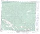
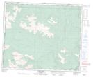
Willmore Wilderness Provincial Park NTS Map Sheets
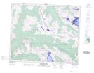
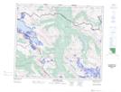
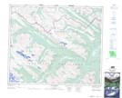
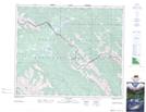
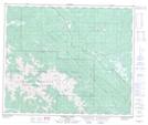
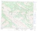
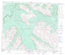
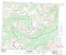
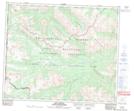
083E05 Chalco Mountain Topographic Map at 1:50,000 scale
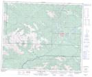
083E06 Twintree Lake Topographic Map at 1:50,000 scale
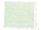
083E07 Blue Creek Topographic Map at 1:50,000 scale
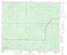
083E08 Rock Lake Topographic Map at 1:50,000 scale
083E09 Moberly Creek Topographic Map at 1:50,000 scale
083E10 Adams Lookout Topographic Map at 1:50,000 scale
083E11 Hardscrabble Creek Topographic Map at 1:50,000 scale
083E12 Pauline Creek Topographic Map at 1:50,000 scale
083E13 Dry Canyon Topographic Map at 1:50,000 scale
083E14 Grande Cache Topographic Map at 1:50,000 scale
083E15 Pierre Greys Lakes Topographic Map at 1:50,000 scale
083E16 Donald Flats Topographic Map at 1:50,000 scale
083L03 Copton Creek Topographic Map at 1:50,000 scale
083L04 Kakwa Falls Topographic Map at 1:50,000 scale
083E Mount Robson Topographic Map at 1:250,000 scale
083L Wapiti Topographic Map at 1:250,000 scale