Maps showing Kneehills Creek, 24-29-21-W4, Alberta
Kneehills Creek is a River located in 24-29-21-W4, Alberta and has an elevation of 799 meters.
- Latitude: 51° 29' 58'' North (decimal: 51.4994444)
- Longitude: 112° 50' 2'' West (decimal: -112.8338888)
- Topography Feature Category: River
- Geographical Feature: Creek
- Canadian Province/Territory: Alberta
- Elevation: 799 meters
- Location: 24-29-21-W4
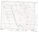
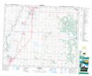
- Atlas of Canada Locator Map: Kneehills Creek
- GPS Coordinate Locator Map: Kneehills Creek Lat/Long
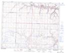
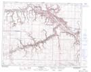
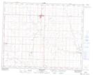
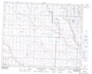
Kneehills Creek NTS Map Sheets
082P06 Carbon Topographic Map at 1:50,000 scale
082P07 Drumheller Topographic Map at 1:50,000 scale
082P11 Three Hills Topographic Map at 1:50,000 scale
082P12 Lonepine Creek Topographic Map at 1:50,000 scale
082P13 Torrington Topographic Map at 1:50,000 scale
083A04 Innisfail Topographic Map at 1:50,000 scale
082P Drumheller Topographic Map at 1:250,000 scale
083A Red Deer Topographic Map at 1:250,000 scale