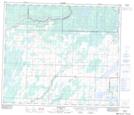
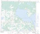
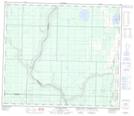
Maps showing La Biche River, 31-69-18-W4, Alberta
La Biche River is a River located in 31-69-18-W4, Alberta and has an elevation of 538 meters.
- Latitude: 55° 0' 49'' North (decimal: 55.0136110)
- Longitude: 112° 44' 2'' West (decimal: -112.7338889)
- Topography Feature Category: River
- Geographical Feature: River
- Canadian Province/Territory: Alberta
- Elevation: 538 meters
- Location: 31-69-18-W4
- Atlas of Canada Locator Map: La Biche River
- GPS Coordinate Locator Map: La Biche River Lat/Long
La Biche River NTS Map Sheets