Canada Topographic Maps

County of Lac Ste. Anne No. 28 Topo Maps

Topography maps and Latitude/Longitude Location

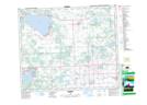
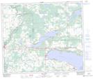
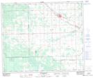
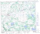
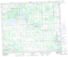
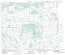
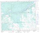
Maps showing County of Lac Ste. Anne No. 28, Alberta

County of Lac Ste. Anne No. 28 is a Major municipal/district area - major agglomeration located in Alberta.

  • Latitude: 53° 50' 47'' North   (decimal: 53.8464000)
  • Longitude: 114° 41' 42'' West   (decimal: -114.6949999)
  • Topography Feature Category: Major municipal/district area - major agglomeration
  • Geographical Feature: Municipal District
  • Canadian Province/Territory: Alberta
  • GPS Coordinate Locator Map: County of Lac Ste. Anne No. 28 Lat/Long

County of Lac Ste. Anne No. 28 NTS Map Sheets

083G09 Onoway Topographic Map at 1:50,000 scale

083G10 Isle Lake Topographic Map at 1:50,000 scale

083G14 Mayerthorpe Topographic Map at 1:50,000 scale

083G15 Sangudo Topographic Map at 1:50,000 scale

083G16 Lac La Nonne Topographic Map at 1:50,000 scale

083J02 Thunder Lake Topographic Map at 1:50,000 scale

083J03 Green Court Topographic Map at 1:50,000 scale

083G Wabamun Lake Topographic Map at 1:250,000 scale

083J Whitecourt Topographic Map at 1:250,000 scale

 
Buy Topographic Maps DVD
Newsletter Sign-up

Yes, I want to receive map store discounts.


Bookmark and Share