Maps showing County of Athabasca No. 12, 26-66-21-W4, Alberta
County of Athabasca No. 12 is a Major municipal/district area - major agglomeration located in 26-66-21-W4, Alberta.
- Latitude: 54° 43' 58'' North (decimal: 54.7327777)
- Longitude: 113° 3' 16'' West (decimal: -113.0544444)
- Topography Feature Category: Major municipal/district area - major agglomeration
- Geographical Feature: Municipal District
- Canadian Province/Territory: Alberta
- Location: 26-66-21-W4
- Atlas of Canada Locator Map: County of Athabasca No. 12
- GPS Coordinate Locator Map: County of Athabasca No. 12 Lat/Long
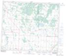
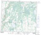
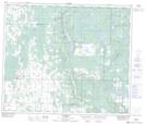
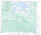
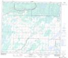
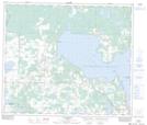
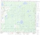
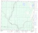
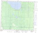
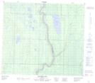
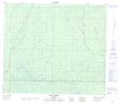
County of Athabasca No. 12 NTS Map Sheets
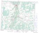
083I05 Dapp Topographic Map at 1:50,000 scale
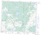
083I06 Perryvale Topographic Map at 1:50,000 scale
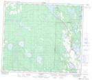
083I07 Newbrook Topographic Map at 1:50,000 scale
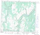
083I09 Hylo Topographic Map at 1:50,000 scale
083I10 Boyle Topographic Map at 1:50,000 scale
083I11 Athabaska Topographic Map at 1:50,000 scale
083I12 Coolidge Topographic Map at 1:50,000 scale
083I13 Grosmont Topographic Map at 1:50,000 scale
083I14 Sawdy Topographic Map at 1:50,000 scale
083I15 Grassland Topographic Map at 1:50,000 scale
083I16 Plamondon Topographic Map at 1:50,000 scale
083P01 Wandering River Topographic Map at 1:50,000 scale
083P02 Calling River Topographic Map at 1:50,000 scale
083P03 Calling Lake Topographic Map at 1:50,000 scale
083P07 Amadou Lake Topographic Map at 1:50,000 scale
083P08 Eric Creek Topographic Map at 1:50,000 scale
083I Tawatinaw Topographic Map at 1:250,000 scale
083P Pelican River Topographic Map at 1:250,000 scale