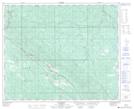
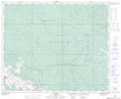
Maps showing Erickson Creek, 47-21-W5, Alberta
Erickson Creek is a River located in 47-21-W5, Alberta and has an elevation of 1440 meters.
- Latitude: 53° 4' 25'' North (decimal: 53.0736111)
- Longitude: 117° 0' 32'' West (decimal: -117.0088888)
- Topography Feature Category: River
- Geographical Feature: Creek
- Canadian Province/Territory: Alberta
- Elevation: 1440 meters
- Location: 47-21-W5
- Atlas of Canada Locator Map: Erickson Creek
- GPS Coordinate Locator Map: Erickson Creek Lat/Long
Erickson Creek NTS Map Sheets