Canada Topographic Maps

Latornell River Topo Maps

Topography maps and Latitude/Longitude Location

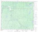
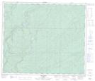
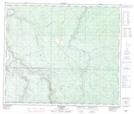
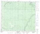
Maps showing Latornell River, 69-27-W5, Alberta

Latornell River is a River located in 69-27-W5, Alberta and has an elevation of 620 meters.

  • Latitude: 54° 57' 56'' North   (decimal: 54.9655555)
  • Longitude: 118° 0' 38'' West   (decimal: -118.0105556)
  • Topography Feature Category: River
  • Geographical Feature: River
  • Canadian Province/Territory: Alberta
  • Elevation: 620 meters
  • Location: 69-27-W5
  • Atlas of Canada Locator Map: Latornell River
  • GPS Coordinate Locator Map: Latornell River Lat/Long

Latornell River NTS Map Sheets

083K13 Long Lake Topographic Map at 1:50,000 scale

083L08 Amundson Topographic Map at 1:50,000 scale

083L09 Latornell Topographic Map at 1:50,000 scale

083L16 Lignite Creek Topographic Map at 1:50,000 scale

083K Iosegun Lake Topographic Map at 1:250,000 scale

083L Wapiti Topographic Map at 1:250,000 scale

 
Buy Topographic Maps DVD
Newsletter Sign-up

Yes, I want to receive map store discounts.


Bookmark and Share