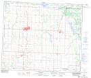
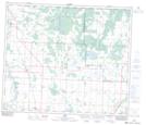
Maps showing Lebeaus Lake, 61-25,26-W4, Alberta
Lebeaus Lake is a Lake located in 61-25,26-W4, Alberta and has an elevation of 637 meters.
- Latitude: 54° 15' North (decimal: 54.2499999)
- Longitude: 113° 45' West (decimal: -113.7499999)
- Topography Feature Category: Lake
- Geographical Feature: Lake
- Canadian Province/Territory: Alberta
- Elevation: 637 meters
- Location: 61-25,26-W4
- Atlas of Canada Locator Map: Lebeaus Lake
- GPS Coordinate Locator Map: Lebeaus Lake Lat/Long
Lebeaus Lake NTS Map Sheets