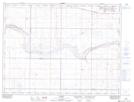
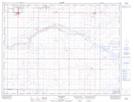
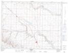
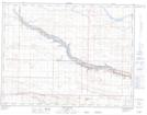
Maps showing Etzikom Coulee, 6-16,17-W4, Alberta
Etzikom Coulee is a Valley located in 6-16,17-W4, Alberta and has an elevation of 915 meters.
- Latitude: 49° 28' 47'' North (decimal: 49.4797221)
- Longitude: 112° 8' 39'' West (decimal: -112.1441667)
- Topography Feature Category: Valley
- Geographical Feature: Coulee
- Canadian Province/Territory: Alberta
- Elevation: 915 meters
- Location: 6-16,17-W4
- Atlas of Canada Locator Map: Etzikom Coulee
- GPS Coordinate Locator Map: Etzikom Coulee Lat/Long
Etzikom Coulee NTS Map Sheets
072E05 Legend Topographic Map at 1:50,000 scale
072E06 Foremost Topographic Map at 1:50,000 scale
082H08 Warner Topographic Map at 1:50,000 scale
082H09 Chin Coulee Topographic Map at 1:50,000 scale
072E Foremost Topographic Map at 1:250,000 scale
082H Lethbridge Topographic Map at 1:250,000 scale
072E06 Foremost Topographic Map at 1:50,000 scale
082H08 Warner Topographic Map at 1:50,000 scale
082H09 Chin Coulee Topographic Map at 1:50,000 scale
072E Foremost Topographic Map at 1:250,000 scale
082H Lethbridge Topographic Map at 1:250,000 scale