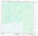
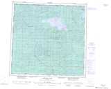
Maps showing Kirkness Island, 124-5-W6, Alberta
Kirkness Island is a Island located in 124-5-W6, Alberta.
- Latitude: 59° 47' 17'' North (decimal: 59.7880556)
- Longitude: 118° 47' 42'' West (decimal: -118.7950000)
- Topography Feature Category: Island
- Geographical Feature: Island
- Canadian Province/Territory: Alberta
- Location: 124-5-W6
- Atlas of Canada Locator Map: Kirkness Island
- GPS Coordinate Locator Map: Kirkness Island Lat/Long
Kirkness Island NTS Map Sheets