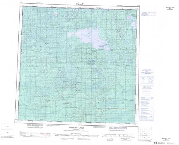
084M Bistcho Lake Topographic Maps
Maps for the Bistcho Lake map sheet 084M at 1:250,000 scale are available in 5 versions:
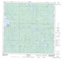
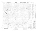
Topographic Map of Bistcho Lake
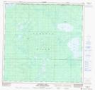
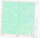
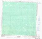
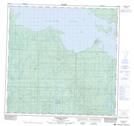
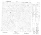
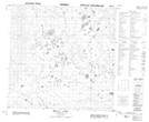
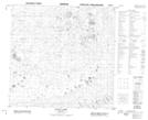
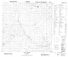
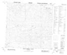
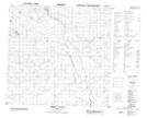
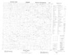
1:50,000 Scale Topos for Bistcho Lake 084M:
 |
 |
 |
 |
 |
 |
 |
 |
 |
 |
 |
 |
 |
 |
 |
 |
084M Related Maps:
084M Bistcho Lake
084M01 Adair Creek
084M02 Moody Creek
084M03 Amber River
084M04 South Shekilie River
084M05 Bootis Hill
084M06 Wally Lake
084M07 Elsa Lake
084M08 Tate Creek
084M09 Pert Lake
084M10 Jackfish Point
084M11 Donna Creek
084M12 Dickins Lake
084M13 Lake May
084M14 Creighton Lake
084M15 Kirkness Island
084M16 Thurston Lake
