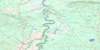
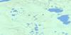
Bistcho Lake Topo Map
Free Topo Maps Downloadable Online: 084M
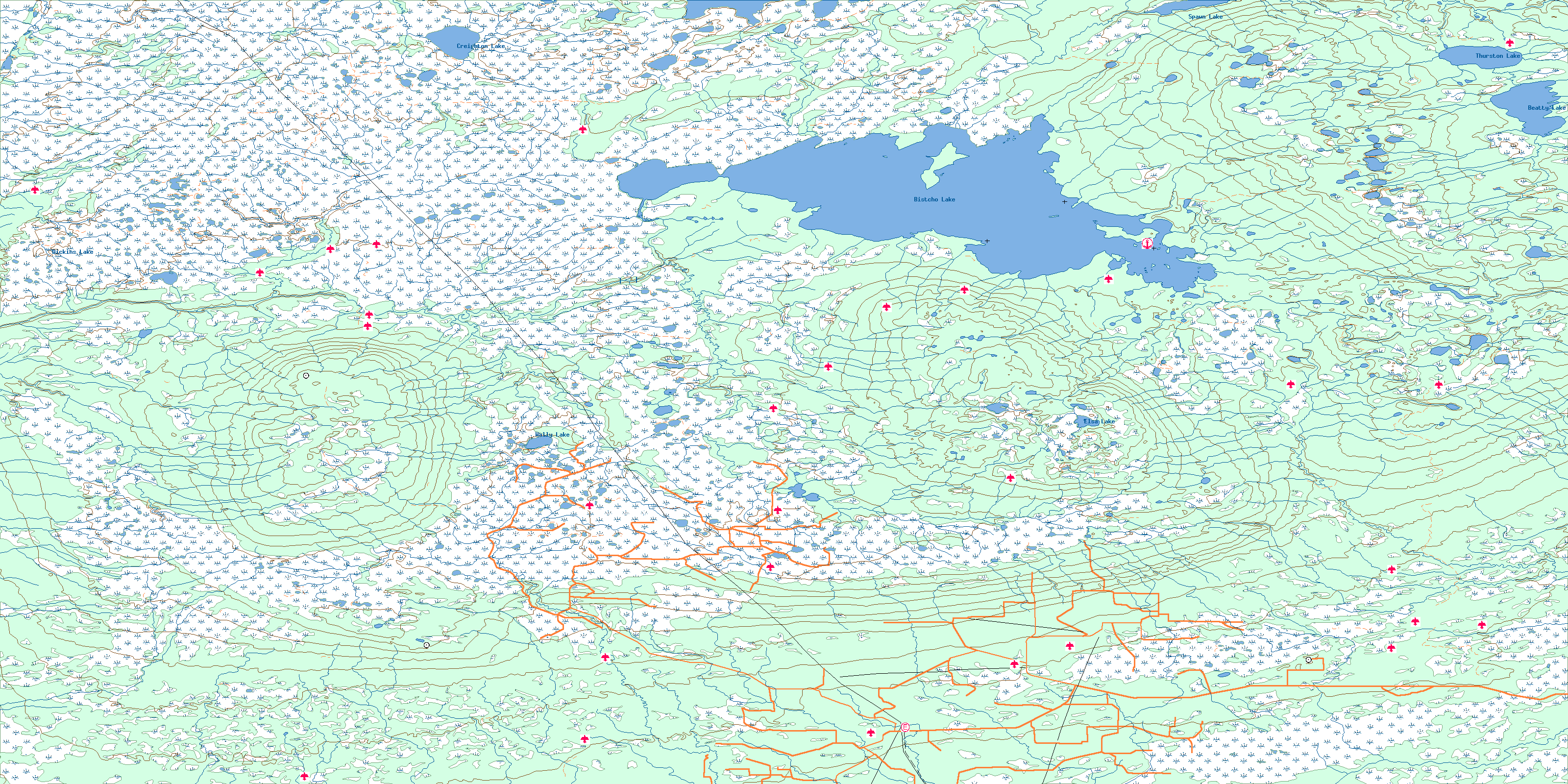
084M Bistcho Lake Topo Map
To view this map, mouse over the map preview on the right.
You can also download this topo map for free:
084M Bistcho Lake high-resolution topo map image.
Maps for the Bistcho Lake map sheet 084M at 1:250,000 scale are also available in these 4 versions:
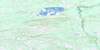
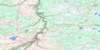
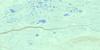
Bistcho Lake Surrounding Area Topos (NTS 084)
 |
 |
 |
 |
 |
 |
 |
 |
 |
 |
 |
 |
 |
 |
 |
 |
© Department of Natural Resources Canada. All rights reserved.
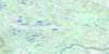
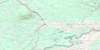
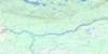
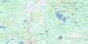
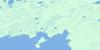
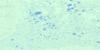
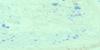
084M Bistcho Lake Area Topo Maps at 1:50,000
 |
 |
 |
 |
 |
 |
 |
 |
 |
 |
 |
 |
 |
 |
 |
 |
© Department of Natural Resources Canada. All rights reserved.
© Department of Natural Resources Canada. All rights reserved.
084M Related Maps:
084M Bistcho Lake084M01 Adair Creek
084M02 Moody Creek
084M03 Amber River
084M04 South Shekilie River
084M05 Bootis Hill
084M06 Wally Lake
084M07 Elsa Lake
084M08 Tate Creek
084M09 Pert Lake
084M10 Jackfish Point
084M11 Donna Creek
084M12 Dickins Lake
084M13 Lake May
084M14 Creighton Lake
084M15 Kirkness Island
084M16 Thurston Lake
