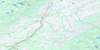
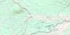
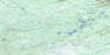
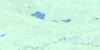
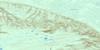
Lake Claire Topo Map
Free Topo Maps Downloadable Online: 084I
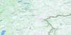
084I Lake Claire Topo Map
To view this map, mouse over the map preview on the right.
You can also download this topo map for free:
084I Lake Claire high-resolution topo map image.
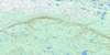
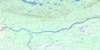
Maps for the Lake Claire map sheet 084I at 1:250,000 scale are also available in these 4 versions:
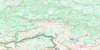
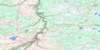
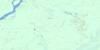
Lake Claire Surrounding Area Topos (NTS 084)
 |
 |
 |
 |
 |
 |
 |
 |
 |
 |
 |
 |
 |
 |
 |
 |
© Department of Natural Resources Canada. All rights reserved.
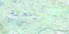
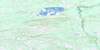
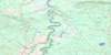
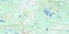
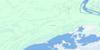
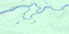
084I Lake Claire Area Topo Maps at 1:50,000
 |
 |
 |
 |
 |
 |
 |
 |
 |
 |
 |
 |
 |
 |
 |
 |
© Department of Natural Resources Canada. All rights reserved.

© Department of Natural Resources Canada. All rights reserved.
084I Related Maps:
084I Lake Claire084I01 Clayton Lake
084I02 Elk Lake
084I03 Peel Creek
084I04 Edra Creek
084I05 Ruis Lake
084I06 Lake Dene
084I07 Heron Island
084I08 Pointe De Roche
084I09 Spruce Point
084I10 French Lake
084I11 Stovel Lake
084I12 Buchanan Lake
084I13 Trident Creek
084I14 Big Slough
084I15 Jackfish River
084I16 Point Providence
