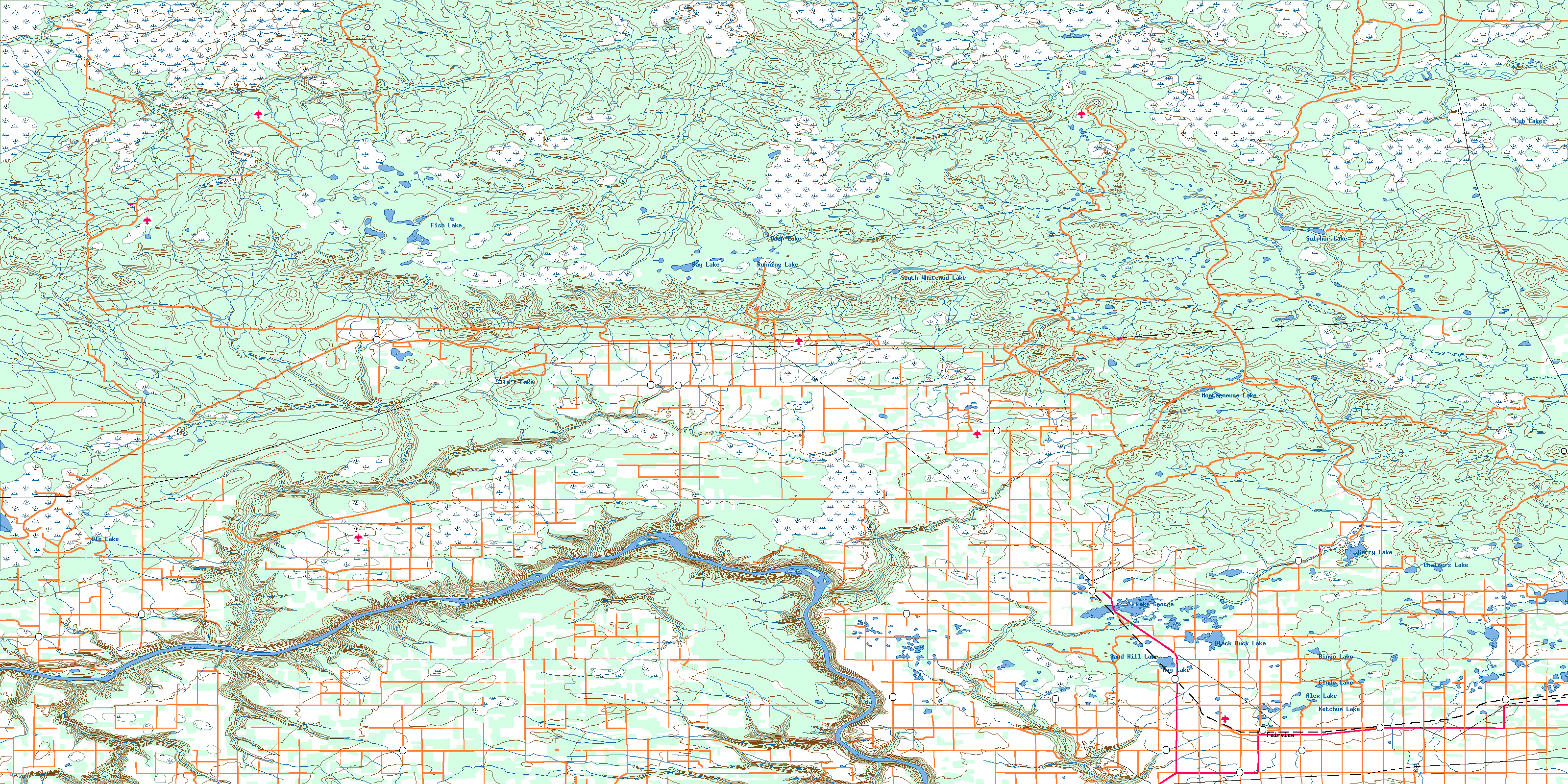
Clear Hills Topo Map
Free Topo Maps Downloadable Online: 084D
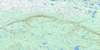
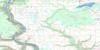
084D Clear Hills Topo Map
To view this map, mouse over the map preview on the right.
You can also download this topo map for free:
084D Clear Hills high-resolution topo map image.
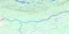
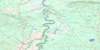
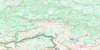
Maps for the Clear Hills map sheet 084D at 1:250,000 scale are also available in these 4 versions:
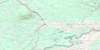
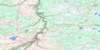
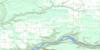
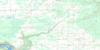
Clear Hills Surrounding Area Topos (NTS 084)
 |
 |
 |
 |
 |
 |
 |
 |
 |
 |
 |
 |
 |
 |
 |
 |
© Department of Natural Resources Canada. All rights reserved.
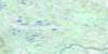
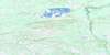
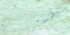
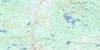
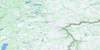
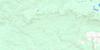
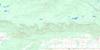
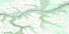
084D Clear Hills Area Topo Maps at 1:50,000
 |
 |
 |
 |
 |
 |
 |
 |
 |
 |
 |
 |
 |
 |
 |
 |
© Department of Natural Resources Canada. All rights reserved.
© Department of Natural Resources Canada. All rights reserved.
084D Related Maps:
084D Clear Hills084D01 Fairview
084D02 Hines Creek
084D03 Josephine Creek
084D04 Cherry Point
084D05 Boundary Lake
084D06 Many Islands
084D07 Eureka River
084D08 Deer Hill
084D09 Sulphur Lake
084D10 South Whitemud Lake
084D11 Worsley
084D12 Clear Prairie
084D13 Betts Creek
084D14 Square Creek
084D15 Rambling Creek
084D16 Cub Lakes
