Canada Topographic Maps

John D'Or Prairie Topo Map

Free Topo Maps Downloadable Online: 084J

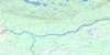
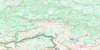
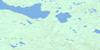
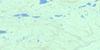
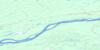
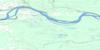
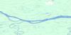
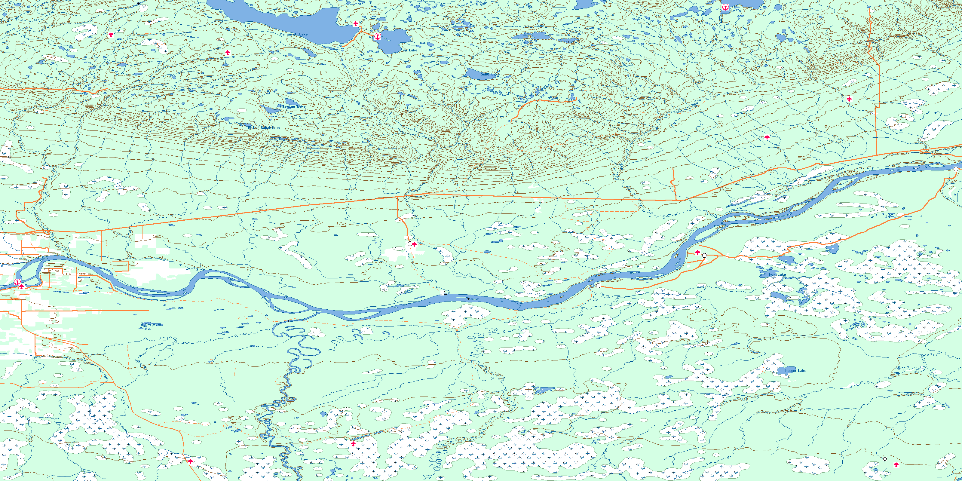
084J John D'Or Prairie Topo Map

To view this map, mouse over the map preview on the right.

You can also download this topo map for free:
084J John D'Or Prairie high-resolution topo map image.

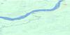
Maps for the John D'Or Prairie map sheet 084J at 1:250,000 scale are also available in these 4 versions:

  1. Buy Digital Topo Maps on Data-DVD
  2. Buy 084J John D'Or Prairie Waterproof Topographic Map
  3. Buy 084J John D'Or Prairie Topographic Paper Map
  4. Free Printable NTS Topographic Map
 

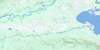
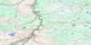
John D'Or Prairie Surrounding Area Topos (NTS 084)

084M Bistcho Lake Free Online Topo Map Thumbnail 084N Steen River Free Online Topo Map Thumbnail 084O Whitesand River Free Online Topo Map Thumbnail 084P Peace Point Free Online Topo Map Thumbnail
084L Zama Lake Free Online Topo Map Thumbnail 084K Mount Watt Free Online Topo Map Thumbnail 084J John D'Or Prairie Free Online Topo Map Thumbnail 084I Lake Claire Free Online Topo Map Thumbnail
084E Chinchaga River Free Online Topo Map Thumbnail 084F Bison Lake Free Online Topo Map Thumbnail 084G Wadlin Lake Free Online Topo Map Thumbnail 084H Namur Lake Free Online Topo Map Thumbnail
084D Clear Hills Free Online Topo Map Thumbnail 084C Peace River Free Online Topo Map Thumbnail 084B Peerless Lake Free Online Topo Map Thumbnail 084A Algar Lake Free Online Topo Map Thumbnail
© Department of Natural Resources Canada. All rights reserved.

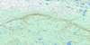
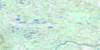
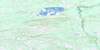
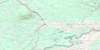
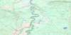
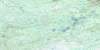
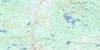
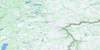
084J John D'Or Prairie Area Topo Maps at 1:50,000

084J13 No Title Topo Map Thumbnail 084J14 Margaret Lake Topo Map Thumbnail 084J15 Clements Creek Topo Map Thumbnail 084J16 Pakwanutik River Topo Map Thumbnail
084J12 No Title Topo Map Thumbnail 084J11 Lawrence River Topo Map Thumbnail 084J10 Wentzel River Topo Map Thumbnail 084J09 Fifth Meridian Topo Map Thumbnail
084J05 Sled Island Topo Map Thumbnail 084J06 Adams Landing Topo Map Thumbnail 084J07 Vermilion Chutes Topo Map Thumbnail 084J08 Fox Lake Topo Map Thumbnail
084J04 Tall Cree Topo Map Thumbnail 084J03 Wabasca River Topo Map Thumbnail 084J02 No Title Topo Map Thumbnail 084J01 Harper Creek Topo Map Thumbnail
© Department of Natural Resources Canada. All rights reserved.
John D'Or Prairie Topo Map 084J at 1:250,000 Scale
© Department of Natural Resources Canada. All rights reserved.
 
Buy Topographic Maps DVD
Newsletter Sign-up

Yes, I want to receive map store discounts.


Bookmark and Share