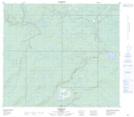
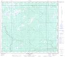
Maps showing Leismer, 17-78-7-W4, Alberta
Leismer is a Unincorporated area located in 17-78-7-W4, Alberta and has an elevation of 542 meters.
- Latitude: 55° 45' 14'' North (decimal: 55.7538888)
- Longitude: 111° 2' 28'' West (decimal: -111.0411111)
- Topography Feature Category: Unincorporated area
- Geographical Feature: Locality
- Canadian Province/Territory: Alberta
- Elevation: 542 meters
- Location: 17-78-7-W4
- Atlas of Canada Locator Map: Leismer
- GPS Coordinate Locator Map: Leismer Lat/Long
Leismer NTS Map Sheets