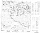
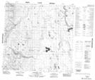
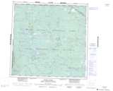
Maps showing Beaver Indian River, 116-19-W4, Alberta
Beaver Indian River is a River located in 116-19-W4, Alberta and has an elevation of 257 meters.
- Latitude: 59° 2' 44'' North (decimal: 59.0455555)
- Longitude: 113° 9' 40'' West (decimal: -113.1611110)
- Topography Feature Category: River
- Geographical Feature: River
- Canadian Province/Territory: Alberta
- Elevation: 257 meters
- Location: 116-19-W4
- Atlas of Canada Locator Map: Beaver Indian River
- GPS Coordinate Locator Map: Beaver Indian River Lat/Long
Beaver Indian River NTS Map Sheets