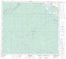
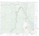
Maps showing Beaver River, 93,94-10-W4, Alberta
Beaver River is a River located in 93,94-10-W4, Alberta and has an elevation of 343 meters.
- Latitude: 57° 7' 13'' North (decimal: 57.1202777)
- Longitude: 111° 35' 59'' West (decimal: -111.5997222)
- Topography Feature Category: River
- Geographical Feature: River
- Canadian Province/Territory: Alberta
- Elevation: 343 meters
- Location: 93,94-10-W4
- Atlas of Canada Locator Map: Beaver River
- GPS Coordinate Locator Map: Beaver River Lat/Long
Beaver River NTS Map Sheets