Canada Topographic Maps

Beaver River Metis Settlement Topo Maps

Topography maps and Latitude/Longitude Location

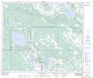
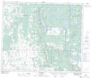
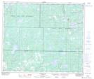
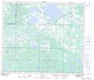
Maps showing Beaver River Metis Settlement, 63-15-W4, Alberta

Beaver River Metis Settlement is a Unincorporated area located in 63-15-W4, Alberta.

  • Latitude: 54° 30' North   (decimal: 54.5000000)
  • Longitude: 112° 20' West   (decimal: -112.3332999)
  • Topography Feature Category: Unincorporated area
  • Geographical Feature: Metis Settlement
  • Canadian Province/Territory: Alberta
  • Location: 63-15-W4
  • GPS Coordinate Locator Map: Beaver River Metis Settlement Lat/Long

Beaver River Metis Settlement NTS Map Sheets

073L05 Goodfish Lake Topographic Map at 1:50,000 scale

083I07 Newbrook Topographic Map at 1:50,000 scale

083I08 Victor Lake Topographic Map at 1:50,000 scale

083I09 Hylo Topographic Map at 1:50,000 scale

083I10 Boyle Topographic Map at 1:50,000 scale

073L Sand River Topographic Map at 1:250,000 scale

083I Tawatinaw Topographic Map at 1:250,000 scale

 
Buy Topographic Maps DVD
Newsletter Sign-up

Yes, I want to receive map store discounts.


Bookmark and Share