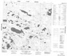
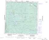
Maps showing Kennedy Lake, 120-19,20-W4, Alberta
Kennedy Lake is a Lake located in 120-19,20-W4, Alberta and has an elevation of 301 meters.
- Latitude: 59° 26' 44'' North (decimal: 59.4455555)
- Longitude: 113° 16' 11'' West (decimal: -113.2697221)
- Topography Feature Category: Lake
- Geographical Feature: Lake
- Canadian Province/Territory: Alberta
- Elevation: 301 meters
- Location: 120-19,20-W4
- Atlas of Canada Locator Map: Kennedy Lake
- GPS Coordinate Locator Map: Kennedy Lake Lat/Long
Kennedy Lake NTS Map Sheets