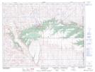
Maps showing Fly Lake, 17-8-3-W4, Alberta
Fly Lake is a Lake located in 17-8-3-W4, Alberta.
- Latitude: 49° 39' North (decimal: 49.6499999)
- Longitude: 110° 23' West (decimal: -110.3832999)
- Topography Feature Category: Lake
- Geographical Feature: Lake
- Canadian Province/Territory: Alberta
- Location: 17-8-3-W4
- GPS Coordinate Locator Map: Fly Lake Lat/Long
Fly Lake NTS Map Sheets