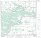
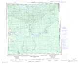
Maps showing Fort Vermilion, 24-108-13-W5, Alberta
Fort Vermilion is a Unincorporated area located in 24-108-13-W5, Alberta and has an elevation of 267 meters.
- Latitude: 58° 23' 24'' North (decimal: 58.3899999)
- Longitude: 116° 1' 00'' West (decimal: -116.0166666)
- Topography Feature Category: Unincorporated area
- Geographical Feature: Hamlet
- Canadian Province/Territory: Alberta
- Elevation: 267 meters
- Location: 24-108-13-W5
- Atlas of Canada Locator Map: Fort Vermilion
- GPS Coordinate Locator Map: Fort Vermilion Lat/Long
Fort Vermilion NTS Map Sheets