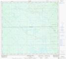
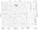
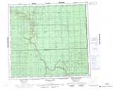
Maps showing Rossbear Creek, 97-13-W5, Alberta
Rossbear Creek is a River located in 97-13-W5, Alberta.
- Latitude: 57° 26' 51'' North (decimal: 57.4475000)
- Longitude: 116° 5' 53'' West (decimal: -116.0980556)
- Topography Feature Category: River
- Geographical Feature: Creek
- Canadian Province/Territory: Alberta
- Location: 97-13-W5
- Atlas of Canada Locator Map: Rossbear Creek
- GPS Coordinate Locator Map: Rossbear Creek Lat/Long
Rossbear Creek NTS Map Sheets