Canada Topographic Maps

Rourke Creek Topo Maps

Topography maps and Latitude/Longitude Location

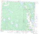
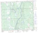
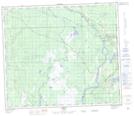
Maps showing Rourke Creek, 8-70-1-W5, Alberta

Rourke Creek is a River located in 8-70-1-W5, Alberta and has an elevation of 623 meters.

  • Latitude: 55° 2' 25'' North   (decimal: 55.0402777)
  • Longitude: 114° 6' 41'' West   (decimal: -114.1113889)
  • Topography Feature Category: River
  • Geographical Feature: Creek
  • Canadian Province/Territory: Alberta
  • Elevation: 623 meters
  • Location: 8-70-1-W5
  • Atlas of Canada Locator Map: Rourke Creek
  • GPS Coordinate Locator Map: Rourke Creek Lat/Long

Rourke Creek NTS Map Sheets

083I13 Grosmont Topographic Map at 1:50,000 scale

083J16 Chisholm Topographic Map at 1:50,000 scale

083O01 Smith Topographic Map at 1:50,000 scale

083I Tawatinaw Topographic Map at 1:250,000 scale

083J Whitecourt Topographic Map at 1:250,000 scale

083O Lesser Slave Lake Topographic Map at 1:250,000 scale

 
Buy Topographic Maps DVD
Newsletter Sign-up

Yes, I want to receive map store discounts.


Bookmark and Share