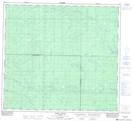
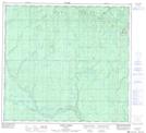
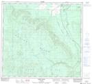
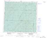
Maps showing Friock Creek, 97-25-W5, Alberta
Friock Creek is a River located in 97-25-W5, Alberta and has an elevation of 616 meters.
- Latitude: 57° 23' 30'' North (decimal: 57.3916666)
- Longitude: 118° 0' 27'' West (decimal: -118.0075000)
- Topography Feature Category: River
- Geographical Feature: Creek
- Canadian Province/Territory: Alberta
- Elevation: 616 meters
- Location: 97-25-W5
- Atlas of Canada Locator Map: Friock Creek
- GPS Coordinate Locator Map: Friock Creek Lat/Long
Friock Creek NTS Map Sheets