Maps showing County of Grande Prairie No. 1, 33-72-8-W6, Alberta
County of Grande Prairie No. 1 is a Major municipal/district area - major agglomeration located in 33-72-8-W6, Alberta.
- Latitude: 55° 16' 21'' North (decimal: 55.2724998)
- Longitude: 119° 9' 10'' West (decimal: -119.1527776)
- Topography Feature Category: Major municipal/district area - major agglomeration
- Geographical Feature: Municipal District
- Canadian Province/Territory: Alberta
- Location: 33-72-8-W6
- Atlas of Canada Locator Map: County of Grande Prairie No. 1
- GPS Coordinate Locator Map: County of Grande Prairie No. 1 Lat/Long
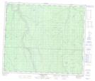
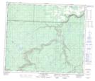
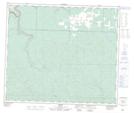
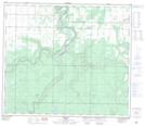
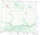
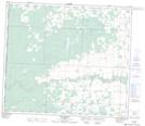
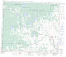
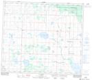
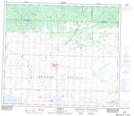
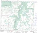
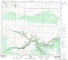
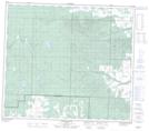
County of Grande Prairie No. 1 NTS Map Sheets
083L12 Lingrell Lake Topographic Map at 1:50,000 scale
083L13 Calahoo Creek Topographic Map at 1:50,000 scale
083L14 Wapiti Topographic Map at 1:50,000 scale
083M01 Debolt Topographic Map at 1:50,000 scale
083M02 Grande Prairie Topographic Map at 1:50,000 scale
083M03 Wembley Topographic Map at 1:50,000 scale
083M04 Rio Grande Topographic Map at 1:50,000 scale
083M05 Hythe Topographic Map at 1:50,000 scale
083M06 La Glace Topographic Map at 1:50,000 scale
083M07 Sexsmith Topographic Map at 1:50,000 scale
083M08 Smoky Heights Topographic Map at 1:50,000 scale
083M09 Peoria Topographic Map at 1:50,000 scale
083M11 Saddle Hills Topographic Map at 1:50,000 scale
083M12 Boone Creek Topographic Map at 1:50,000 scale
083L Wapiti Topographic Map at 1:250,000 scale
083M Grande Prairie Topographic Map at 1:250,000 scale