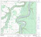
Maps showing Gravina Creek, 30-94-21-W5, Alberta
Gravina Creek is a River located in 30-94-21-W5, Alberta and has an elevation of 640 meters.
- Latitude: 57° 11' 6'' North (decimal: 57.1849999)
- Longitude: 117° 22' 9'' West (decimal: -117.3691667)
- Topography Feature Category: River
- Geographical Feature: Creek
- Canadian Province/Territory: Alberta
- Elevation: 640 meters
- Location: 30-94-21-W5
- Atlas of Canada Locator Map: Gravina Creek
- GPS Coordinate Locator Map: Gravina Creek Lat/Long
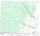
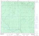
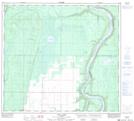
Gravina Creek NTS Map Sheets