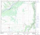
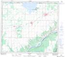
Maps showing Griffin Creek, 2-81-25-W5, Alberta
Griffin Creek is a River located in 2-81-25-W5, Alberta and has an elevation of 425 meters.
- Latitude: 55° 59' 18'' North (decimal: 55.9883333)
- Longitude: 117° 48' 27'' West (decimal: -117.8075000)
- Topography Feature Category: River
- Geographical Feature: Creek
- Canadian Province/Territory: Alberta
- Elevation: 425 meters
- Location: 2-81-25-W5
- Atlas of Canada Locator Map: Griffin Creek
- GPS Coordinate Locator Map: Griffin Creek Lat/Long
Griffin Creek NTS Map Sheets