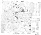
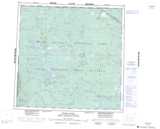
Maps showing Bowhay Lake, 120-21,22-W4, Alberta
Bowhay Lake is a Lake located in 120-21,22-W4, Alberta and has an elevation of 308 meters.
- Latitude: 59° 25' 52'' North (decimal: 59.4311110)
- Longitude: 113° 39' 12'' West (decimal: -113.6533333)
- Topography Feature Category: Lake
- Geographical Feature: Lake
- Canadian Province/Territory: Alberta
- Elevation: 308 meters
- Location: 120-21,22-W4
- Atlas of Canada Locator Map: Bowhay Lake
- GPS Coordinate Locator Map: Bowhay Lake Lat/Long
Bowhay Lake NTS Map Sheets