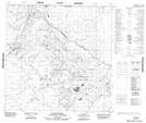
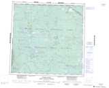
Maps showing Brine Creek, 126-13-W4, Alberta
Brine Creek is a River located in 126-13-W4, Alberta and has an elevation of 181 meters.
- Latitude: 59° 56' 42'' North (decimal: 59.9450000)
- Longitude: 112° 16' 15'' West (decimal: -112.2708332)
- Topography Feature Category: River
- Geographical Feature: Creek
- Canadian Province/Territory: Alberta
- Elevation: 181 meters
- Location: 126-13-W4
- Atlas of Canada Locator Map: Brine Creek
- GPS Coordinate Locator Map: Brine Creek Lat/Long
Brine Creek NTS Map Sheets