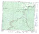
Maps showing Silvestre, Alberta
Silvestre is a Unincorporated area located in Alberta.
- Latitude: 55° 00' North (decimal: 54.9999999)
- Longitude: 119° 41' West (decimal: -119.6832999)
- Topography Feature Category: Unincorporated area
- Geographical Feature: Locality
- Canadian Province/Territory: Alberta
- GPS Coordinate Locator Map: Silvestre Lat/Long
Silvestre NTS Map Sheets