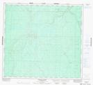
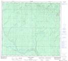
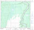
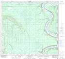
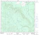
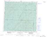
Maps showing Hawk Hills, 98-24-W5, Alberta
Hawk Hills is a Mountain located in 98-24-W5, Alberta and has an elevation of 725 meters.
- Latitude: 57° 30' North (decimal: 57.4999999)
- Longitude: 117° 45' West (decimal: -117.7499999)
- Topography Feature Category: Mountain
- Geographical Feature: Hills
- Canadian Province/Territory: Alberta
- Elevation: 725 meters
- Location: 98-24-W5
- Atlas of Canada Locator Map: Hawk Hills
- GPS Coordinate Locator Map: Hawk Hills Lat/Long
Hawk Hills NTS Map Sheets
084E09 Dryden Creek Topographic Map at 1:50,000 scale
084F05 Goffit Creek Topographic Map at 1:50,000 scale
084F06 Nina Lake Topographic Map at 1:50,000 scale
084F11 Scully Creek Topographic Map at 1:50,000 scale
084F12 Kemp River Topographic Map at 1:50,000 scale
084E Chinchaga River Topographic Map at 1:250,000 scale
084F Bison Lake Topographic Map at 1:250,000 scale