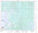
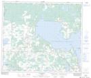
Maps showing Lac la Biche, 67-14-W4, Alberta
Lac la Biche is a Lake located in 67-14-W4, Alberta and has an elevation of 546 meters.
- Latitude: 54° 51' 23'' North (decimal: 54.8563888)
- Longitude: 112° 3' 32'' West (decimal: -112.0588888)
- Topography Feature Category: Lake
- Geographical Feature: Lac
- Canadian Province/Territory: Alberta
- Elevation: 546 meters
- Location: 67-14-W4
- Atlas of Canada Locator Map: Lac la Biche
- GPS Coordinate Locator Map: Lac la Biche Lat/Long
Lac la Biche NTS Map Sheets