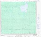
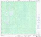
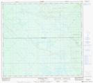
Maps showing Buhler Creek, 11-97-18-W5, Alberta
Buhler Creek is a River located in 11-97-18-W5, Alberta.
- Latitude: 57° 25' 30'' North (decimal: 57.4250000)
- Longitude: 116° 47' 37'' West (decimal: -116.7936110)
- Topography Feature Category: River
- Geographical Feature: Creek
- Canadian Province/Territory: Alberta
- Location: 11-97-18-W5
- Atlas of Canada Locator Map: Buhler Creek
- GPS Coordinate Locator Map: Buhler Creek Lat/Long
Buhler Creek NTS Map Sheets