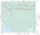
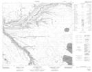
Maps showing Bunting Bay, 87-3,4-W4, Alberta
Bunting Bay is a Bay located in 87-3,4-W4, Alberta and has an elevation of 449 meters.
- Latitude: 56° 33' 46'' North (decimal: 56.5627777)
- Longitude: 110° 29' 19'' West (decimal: -110.4886110)
- Topography Feature Category: Bay
- Geographical Feature: Bay
- Canadian Province/Territory: Alberta
- Elevation: 449 meters
- Location: 87-3,4-W4
- Atlas of Canada Locator Map: Bunting Bay
- GPS Coordinate Locator Map: Bunting Bay Lat/Long
Bunting Bay NTS Map Sheets