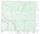
Maps showing Smuland Creek, 22-65-2-W6, Alberta
Smuland Creek is a River located in 22-65-2-W6, Alberta.
- Latitude: 54° 38' 41'' North (decimal: 54.6447222)
- Longitude: 118° 13' 39'' West (decimal: -118.2274999)
- Topography Feature Category: River
- Geographical Feature: Creek
- Canadian Province/Territory: Alberta
- Location: 22-65-2-W6
- Atlas of Canada Locator Map: Smuland Creek
- GPS Coordinate Locator Map: Smuland Creek Lat/Long