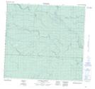
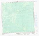
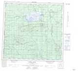
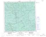
Maps showing Snowfall Creek, 13-104-13-W6, Alberta
Snowfall Creek is a River located in 13-104-13-W6, Alberta.
- Latitude: 58° 1' 45'' North (decimal: 58.0291666)
- Longitude: 120° 0' 3'' West (decimal: -120.0008332)
- Topography Feature Category: River
- Geographical Feature: Creek
- Canadian Province/Territory: Alberta
- Location: 13-104-13-W6
- Atlas of Canada Locator Map: Snowfall Creek
- GPS Coordinate Locator Map: Snowfall Creek Lat/Long
Snowfall Creek NTS Map Sheets