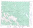
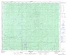
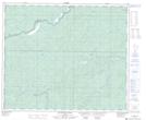
Maps showing Hightower Creek, 55-26-W5, Alberta
Hightower Creek is a River located in 55-26-W5, Alberta and has an elevation of 1274 meters.
- Latitude: 53° 47' 19'' North (decimal: 53.7886110)
- Longitude: 117° 49' 29'' West (decimal: -117.8247222)
- Topography Feature Category: River
- Geographical Feature: Creek
- Canadian Province/Territory: Alberta
- Elevation: 1274 meters
- Location: 55-26-W5
- Atlas of Canada Locator Map: Hightower Creek
- GPS Coordinate Locator Map: Hightower Creek Lat/Long
Hightower Creek NTS Map Sheets