Canada Topographic Maps

Cameron Hills Topo Maps

Topography maps and Latitude/Longitude Location

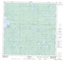
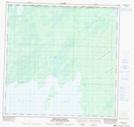
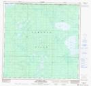
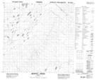
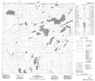
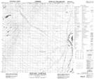
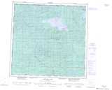
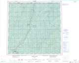
Maps showing Cameron Hills, 125-23-W5, Alberta

Cameron Hills is a Mountain located in 125-23-W5, Alberta.

  • Latitude: 59° 39' 23'' North   (decimal: 59.6563888)
  • Longitude: 117° 59' 26'' West   (decimal: -117.9905555)
  • Topography Feature Category: Mountain
  • Geographical Feature: Hills
  • Canadian Province/Territory: Alberta
  • Location: 125-23-W5
  • Atlas of Canada Locator Map: Cameron Hills
  • GPS Coordinate Locator Map: Cameron Hills Lat/Long

Cameron Hills NTS Map Sheets

084M09 Pert Lake Topographic Map at 1:50,000 scale

084M15 Kirkness Island Topographic Map at 1:50,000 scale

084M16 Thurston Lake Topographic Map at 1:50,000 scale

084N12 Jackpot Creek Topographic Map at 1:50,000 scale

084N13 Esk Lake Topographic Map at 1:50,000 scale

084N14 Indian Cabins Topographic Map at 1:50,000 scale

084M Bistcho Lake Topographic Map at 1:250,000 scale

084N Steen River Topographic Map at 1:250,000 scale

 
Buy Topographic Maps DVD
Newsletter Sign-up

Yes, I want to receive map store discounts.


Bookmark and Share