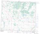
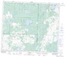
Maps showing Spruce Island Lake, 63-25,26-W4, Alberta
Spruce Island Lake is a Lake located in 63-25,26-W4, Alberta and has an elevation of 698 meters.
- Latitude: 54° 30' 12'' North (decimal: 54.5033332)
- Longitude: 113° 47' 22'' West (decimal: -113.7894443)
- Topography Feature Category: Lake
- Geographical Feature: Lake
- Canadian Province/Territory: Alberta
- Elevation: 698 meters
- Location: 63-25,26-W4
- Atlas of Canada Locator Map: Spruce Island Lake
- GPS Coordinate Locator Map: Spruce Island Lake Lat/Long
Spruce Island Lake NTS Map Sheets