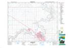
Maps showing Stair, 24-13-7-W4, Alberta
Stair is a Unincorporated area located in 24-13-7-W4, Alberta.
- Latitude: 50° 7' North (decimal: 50.1166999)
- Longitude: 110° 50' West (decimal: -110.8333000)
- Topography Feature Category: Unincorporated area
- Geographical Feature: Locality
- Canadian Province/Territory: Alberta
- Location: 24-13-7-W4
- GPS Coordinate Locator Map: Stair Lat/Long
Stair NTS Map Sheets