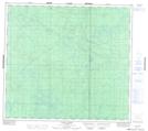
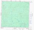
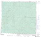
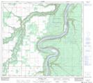
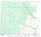
Maps showing Hotchkiss River, 93-22-W5, Alberta
Hotchkiss River is a River located in 93-22-W5, Alberta and has an elevation of 415 meters.
- Latitude: 57° 2' 16'' North (decimal: 57.0377778)
- Longitude: 117° 28' 50'' West (decimal: -117.4805555)
- Topography Feature Category: River
- Geographical Feature: River
- Canadian Province/Territory: Alberta
- Elevation: 415 meters
- Location: 93-22-W5
- Atlas of Canada Locator Map: Hotchkiss River
- GPS Coordinate Locator Map: Hotchkiss River Lat/Long
Hotchkiss River NTS Map Sheets
084E01 Lovet Creek Topographic Map at 1:50,000 scale
084E02 Alleman Creek Topographic Map at 1:50,000 scale
084E07 Sloat Creek Topographic Map at 1:50,000 scale
084F03 Crummy Lake Topographic Map at 1:50,000 scale
084F04 Hotchkiss Topographic Map at 1:50,000 scale
084E Chinchaga River Topographic Map at 1:250,000 scale
084F Bison Lake Topographic Map at 1:250,000 scale