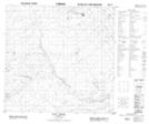
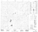
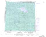
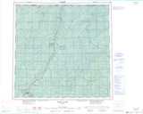
Maps showing Tate Creek, 119-23-W5, Alberta
Tate Creek is a River located in 119-23-W5, Alberta.
- Latitude: 59° 21' North (decimal: 59.3499999)
- Longitude: 117° 52' West (decimal: -117.8666666)
- Topography Feature Category: River
- Geographical Feature: Creek
- Canadian Province/Territory: Alberta
- Location: 119-23-W5
- Atlas of Canada Locator Map: Tate Creek
- GPS Coordinate Locator Map: Tate Creek Lat/Long
Tate Creek NTS Map Sheets